
The Shipwrights Way is a long distance trail for walkers, cyclists and horse riders, commemorating the trade in timber between the forests of Hampshire and the Royal Navy shipyards in Portsmouth. It runs from Bentley station to Portsmouth Historic Dockyard, via Alice Holt Forest, Bordon, Liss, Petersfield, Havant and Hayling Island. The trail was completed this August (2016), with the opening of a new bridleway between Whitehill and Greatham. Over the last few weeks, I have cycled it in various bite sized chunks: a map of the route is below: various alternative routes are shown where the Shipwrights Way is perhaps not best suited to leisure cyclists (like me) because it may be too muddy, gravelly, sandy or steep.
The Way forms the backbone of the Farnham-Havant section of route number 22 of the National Cycle Network (NCN22). Pending completion of the Shipwrights Way, there was an unsigned gap in NCN22 between Rowledge and Lindford: hopefully that gap can now be filled, providing a complete route between Banstead in SW London, and Portsmouth, via Doking, Guildford and Farnham (see
Sustrans map).
Here is my own map of the route, with various options.
NB The map shows my route, with various diversions and excursions which you may not wish to follow precisely. You can download the Google map info, as a KML/KMZ file, then convert to GPX using a site like GPS Visualiser.
In terms of the National Cycle Network (NCN), the route comprises:
- NCN224 from the start at Bentley Station to the Alice Holt Forest Visitor Centre
- NCN22 to Havant
- NCN2 via the Hayling Island Ferry to the finish at Portsmouth Harbour
You can download a GPX of the route from the Cycle.travel website. This is the route I regard as best for cyclists, in that it avoids the muddy path crossing the A3 at Greatham, and also the steep path up the South Downs scarp from Buriton. It also takes the carry over the footbridge over the railway after Liss (can be avoided by using the A3 option, see below).
I describe the route from the point of view of someone following the existing NCN22 up from Farnham through Rowledge. From the car park at the Rowledge entrance to Alice Holt Forest, NCN22 follows forest tracks to join the Shipwrights Way where it emerges on a track from the Visitor Centre (this is the route up from Bentley station, described in a
previous ride). From here you pick up Shipwrights Way signs, and the route is as follows:
- South on good but stony and quite hilly forest tracks, crossing the Dockenfield Road and heading on through the Abbotts Wood Inclosure
- down the Cradle Lane bridleway, crossing a stream by a ford (there is also a footbridge): in all but the driest weather, expect extensive mud
- West along Picketts Hill road, then south-ish on bridleways through woodland plantations, fields and the Broxhead Local Nature Reserve to emerge on the B3004: the paths are sandy, and will include muddy patches after rain
- NB the previous two muddy segments can be avoided by following country lanes to Lindford as shown see map
- across the B3002 (there are permanent blue metal NCN22 signs here) and into the Bordon Inclosure woods
- following back roads and linking paths through Lindford to Conde Way, a road skirting the centre of Bordon to Whitehill
- along a purpose made bridleway winding pleasantly through woods between the A325 and the military range perimeter track: despite proximity to the busy trunk road, the bridleway is quite peaceful. The bridleway has a good compacted surface: time will tell how well this will wear.
- through Greatham on the road then left on Forest Road to join the railway path into Liss (In Greatham, the Shipwrights Way cuts the corner on a bridleway over the A3 - see map - but this is very muddy and not yet suitable for cycling: a notice says the surface will be improved in Autumn 2016.)
- (There is a 'spur' in NCN22/Shipwrights Way linking Liss with Liphook - see map.)
- from Liss along Andlers Ash Road and Stodham Road, before branching off on a path which crosses the London-Portsmouth mainline railway on a footbridge with steep steps (though a 'cycle gutter is provided) (there is an alternative route with a flat crossing of the railway, though at the price of having to spend more time beside the A3)
- a short stretch on a cycle track beside the busy A3
- crossing north under the A3 and taking a very pleasant bridleway following an old bull droveway, and passing the picturesque traditional Harrow pub in the village of Steep. You pass a sculpture of a stack of books, commemorating past distinguished literary residents, including Alec Guiness, John Wyndham and Edward Thomas, before crossing back over the A3 on a footbridge and descending quiet roads into Petersfield
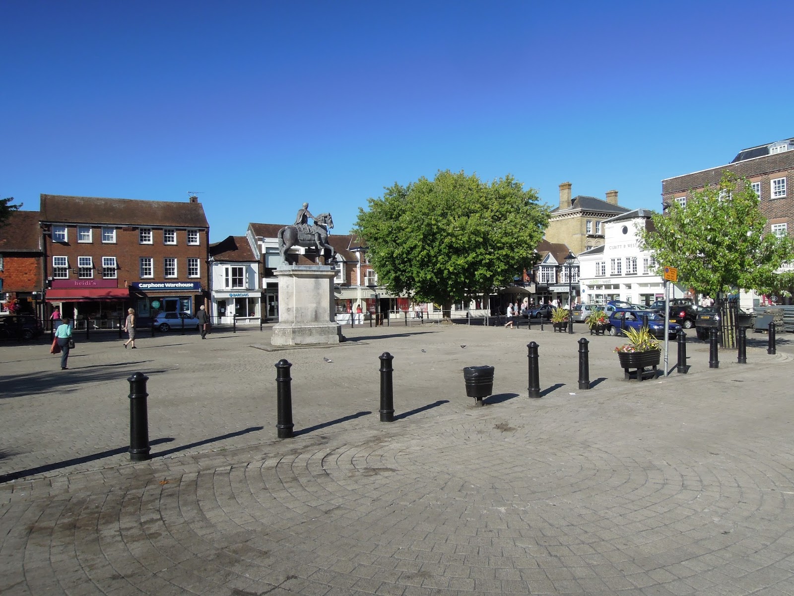
- through the Georgian centre of Petersfield and out to the village of Buriton at the foot of the South Downs
- up a lane beside the village pond, which soon turns to gravel, passes under the railway and climbs the South Downs scarp via the Chalk Pit nature reserve to emerge on top of the Downs at the rear entrance to the Queen Elizabeth Forest Park: this climb is very steep and stony; descent on a bike is definitely not recommended. It is easier to use Kiln Lane, the (steep) road out of Buriton, as shown on the map
- it is possible to make a diversion via the QE Park visitor facilities, but otherwise stay on the quiet lanes for a fast descent to Finchdean and on to Rowlands Castle (a good pit stop)
- along The Drift bridleway (may be muddy) and via roadside cycle tracks through the rather dreary suburbs of Havant, to the level crossing beside Havant station
- here, you can head West along NCN22 through Havant town centre to approach Portsmouth from the North, but to stay on the Shipwrights Way, take the disused railway signed "Hayling Island" down to Langstone Harbour bridge
- cross the bridge onto Hayling Island and join the Hayling Billy Trail to ride airily beside the Langstone Harbour shore to Hayling sea front
- along the sea front road to the newly reinstated Hayling-Eastney ferry
- cross to Eastney (check ferry timetable) and ride along the sea front road to Southsea
- ride the 'Ladies Mile', a shared use path across Southsea Common, then follow shared use pavement beside Duisberg Way; then a tarmac path across the park between the sea wall and the Royal Garrison Church, to emerge at a square with a statue of Nelson (Grand Parade)
- (as an alternative, you can continue along the sea front to Clarence Pier, through the car park then WALK along the boardwalk beside the sea wall fortifications)
- follow cobbled streets of Old Portsmouth (White Hart Road), passing the Camber, the oldest part of Portsmouth Harbour, still busy with ships) round to the back entrance to Gunwharf Quays, Portsmouth's mega retail park and R&R complex, also home to the Spinaker Tower
- walk through Gunwharf Quays (plenty of refreshment opportunities along the harbour front) and cycle along the Hard to the gates of the Historic Dockyard, the end of the Shipwrights Way.
The Shipwrights Way is a very pleasant ride, with much of interest along the way. As noted, the bridleways between the southern entrance to Alice Holt Forest and Lindford can get muddy, but can be bypassed on quiet lanes. It is also possible to ride between Whitehill and Liss on good tracks around the perimeter road of the military ranges to the north of the A3, across the A3 on a bridge and along the disused railway across the military ranges to the South of the A3. These tracks were not used for the Shipwrights Way because they are not officially public rights of way, and the MOD would not allow them to be incorporated (hence the expenditure of a considerable sum in constructing the new bridleway just a stone's throw from the existing perimeter road). However, I have never had any problem using them. The perimeter track lies outside the 'red flag' zone, and there is no live firing south of the A3.
The start of the Shipwrights Way is at Bentley Station, reached from Waterloo via Farnham. There are several mainline stations along the way (Liss, Petersfield, Rowlands Castle, Havant, Portsmouth Harbour), so you can ride short sections if you wish.
 |
| NCN22 enters Alice Holt Forest at Rowledge |
 |
| Alice Holt Visitor Centre |
 |
| typical tracks in Alice Holt Forest: quite stony and hilly |
 |
| Entering Abbots Wood Inclosure south of the Dockenfield Road |
 |
| Footbridge and ford on Cradle Lane (expect mud) |
 |
| Track through woods - sandy! |
 |
| Approaching Broxhead |
 |
| Broxhead LNR |
 |
| There are a few cycle signs... |
 |
| ... and some excellent new wooden signposts (Bordon Inclosure) |
 |
| New bridleway between Whitehill and Greatham |
 |
| Muddy bridleway at Greatham: stay on road, until planned improvement works are completed |
 |
| Liss railway path |
 |
| Diorama of the Longmoor military railway in Liss station |
 |
| Typical Hangar road |
 |
| Steep railway footbridge (near Steep!) |
 |
| A3 cycle path |
 |
| Track into Steep |
 |
| Approaching Steep |
 |
| Petersfield |
 |
| Buriton village pond |
 |
| Climb through Buriton chalk pit (steep - best to stay on road) |
 |
| Signing at QE Park entrance |
 |
| Peachy descent to Finchdean |
 |
| St Hubert's Church nr Finchdean |
 |
| St Hubert's has some important wall paintings |
 |
| Shipwrights Way sculpture, Rowlands Castle |
 |
| The Drift bridleway out of Rowlands Castle |
 |
| Level crossing, Havant station |
 |
| Signing at the level crossing: take 'Hayling Island' |
 |
| Langstone harbour bridge |
 |
| Start Hayling Billy Trail |
 |
| Hayling Billy Trail |
 |
| Approaching Hayling-Eastney ferry |
 |
| Reopening of Hayling-Eastney ferry, 5 August 2016 |
 |
| Cycle path between parked cars and promenade, Southsea |
 |
| Ladies Mile across Southsea Common |
 |
| What does this sign mean: 'no cycling' or 'no no cycling'? |
 |
Boardwalk between Old Portsmouth and Clarence Pier:
not officially part of Shipwrights Way; dismount and walk |
 |
| Nelson statue |
 |
| Boneshaking cobbled streets, Old Portsmouth |
 |
| The Camber, Portsmouth's oldest harbour |
 |
| Rear entrance to Gunwharf Quays |
 |
| The Hard |
 |
| End of the Shipwrights Way at the gates of the Historic Dockyard |
 |
| Sculpture at the end of the Shipwrights Way: "Tool Bag". Hidden away somewhat at the corner of Boathouse 4 within the Dockyard: ask at the Visitor Reception and they should let you through |


THanks- that's a particularly useful map with the mud avoiding detours ( I can never see the point when it involves a 3 hour clean up afterwards).- You can dodge the Buriton climb to an extent by using a new cycle route along the A3 to QE visitor centre. I have also linked the Havant- Petersfield stretch of the Shipwrights with a nice horseshoe route using the Meon Valley old railway from Fareham- similarly improved surfaces and a good day out.
ReplyDeleteIs the shipwrights way suitable for a road bike?
ReplyDeleteHi JR. I wouldn't recommend it. Its quite rough in places, and there will be mud after rain: hybrid or mountain bike is best.
Delete