As described in
this post, the Downs Link is a popular route providing cyclists with a traffic free ride to the coast at Shoreham. Most cyclists probably join it direct from central Guildford using the NCN22 (shown on map in
light blue) or the River Wey towpath to reach the disused railway path near Shalford. However, the official start of the Downs Link is on the Eastern flank of St Martha's Hill: the concept of the route being that, as its name suggests, it would link the North Downs Way here with the South Downs Way at the Shoreham Gap. On this ride, I rode the 4 miles or so of the Downs Link (the
blue track on this map) from St Martha's to its junction with the disused railway path. I returned a different way (
red track) to make a circular ride.
The first mile and a half of the route is not well suited for ordinary cyclists: the path descending into the Tillingbourne Valley and climbing to Blackheath on the other side is variously sandy, rutted and stony (often a combination of all three, plus lots of horse poo). I had to walk it, though experienced mountain bikers could probably cope. The going improves once you reach the Blackheath 'plateau', and I managed to cycle it from there on. On the way back, I stopped for a tea break at the Snooty Fox cafe in Shalford, before returning on the bridleway through Manor Farm on the Western slope of St Martha's Hill, which I climbed (ie walked up) to take in the great view from the church.
 |
| St Martha's Guildford Lane car park for start of Downs Link |
 |
| Stone marking the official start of the Downs Link |
 |
| The Downs Link descending St Martha's Hill is very sandy..... |
 |
| ....and rutted as well in parts, very difficult for all but experienced mountain bikers |
 |
| View |
 |
| The route emerges onto Blackheath: the cycling gets easier, but still quite sandy |
 |
| Blackheath war memorial |
 |
| This is easier to cycle |
 |
| Path flanking Chinthurst Hill |
 |
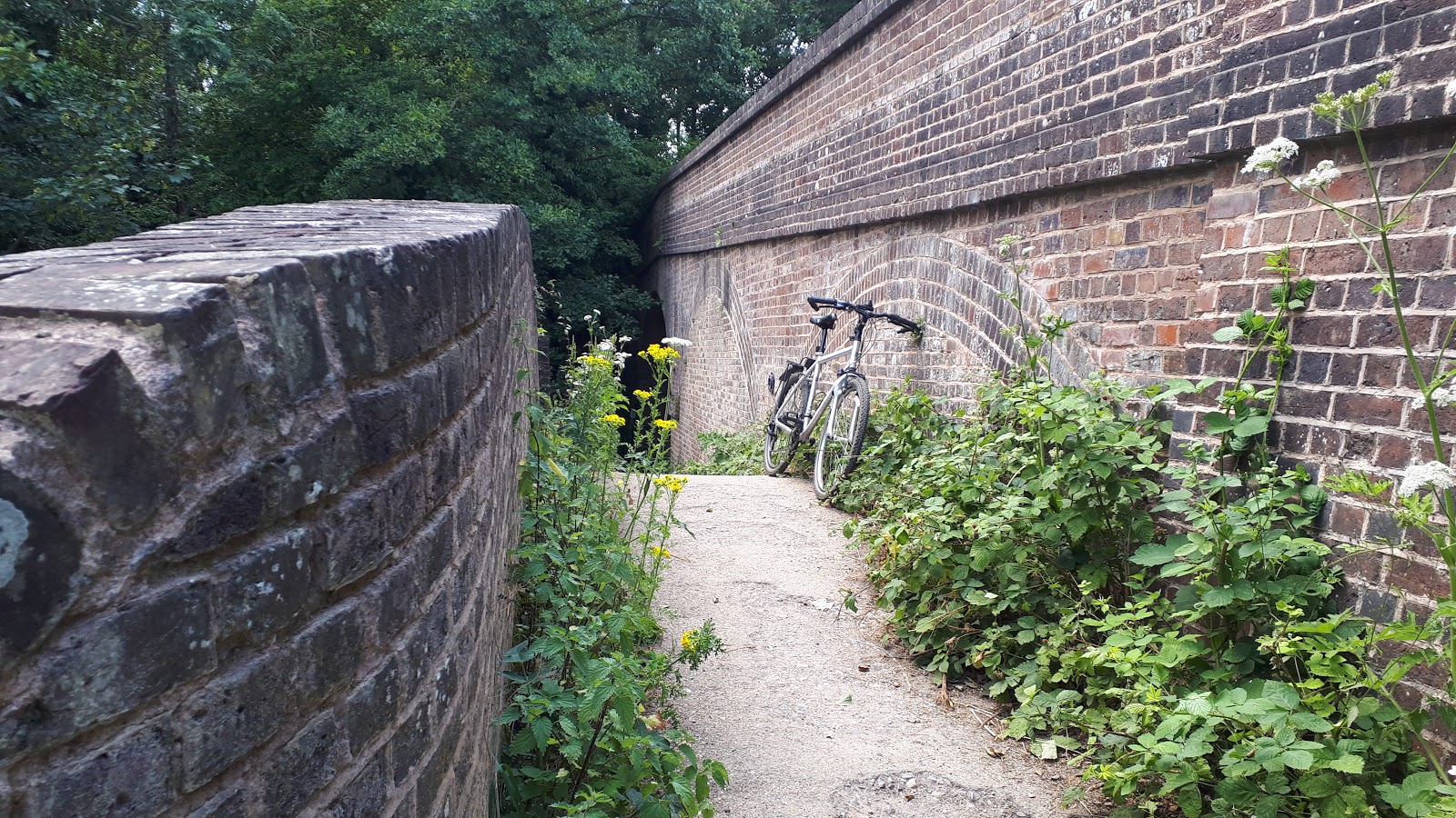
| The path joining the Downs Link railway track was badly overgrown...... |
 |
| ....I should have crossed the footbridge instead |
 |
| Old-looking barn structure at Manor Farm on the return leg |
 |
| Manor Farm bridleway |
 |
| Bridleway crosses western flank of St Martha's Hill (St Martha's church just visible on the skyline) |
 |
| St Martha's church |
 |
| St Martha's churchyard is a great viewpoint |
 |
| There is a firmer path descending through the woods on the Eastern flank of St Matha's Hill (the regular path is another sand dune) |
 |
| Old pill box |


Thanks for the fantastic resource, I am interested in cycling the Downs Link and your website has really helped with planning. The stone marking the official start of the Downs Link, is that in the Church grounds or Guildford Lane car park?
ReplyDeleteIt's at the Guildford Lane car park. Enjoy.
ReplyDelete