All sections Next: Reading>Farnham Previous: Ogbourn>East Hendred Down
On this sunny autumn Sunday, I took the train from Reading to Didcot Parkway and cycled back. Here's a map.
I used NCN544 from Didcot, a well surfaced disused railway path to Upton, then climbed to join the Ridgeway on bridleways via Chilton (7 miles). Then I followed the route of the KAW, ie the Ridgeway to Streatley/Goring, then the Thames Valley route to Reading (21 miles). Here's the story in photos.
 |
| No bike reservation needed on slow trains from Reading to Didcot Parkway |
 |
| Didcot Parkway station |
 |
| NCN544 out of Didcot |
 |
| My route to the Ridgeway in purple |
 |
| Well surfaced disused railway |
 |
| Bridleway after Chilton follows a quiet lane.... |
 |
| ... last bit up to the Ridgeway is rough track |
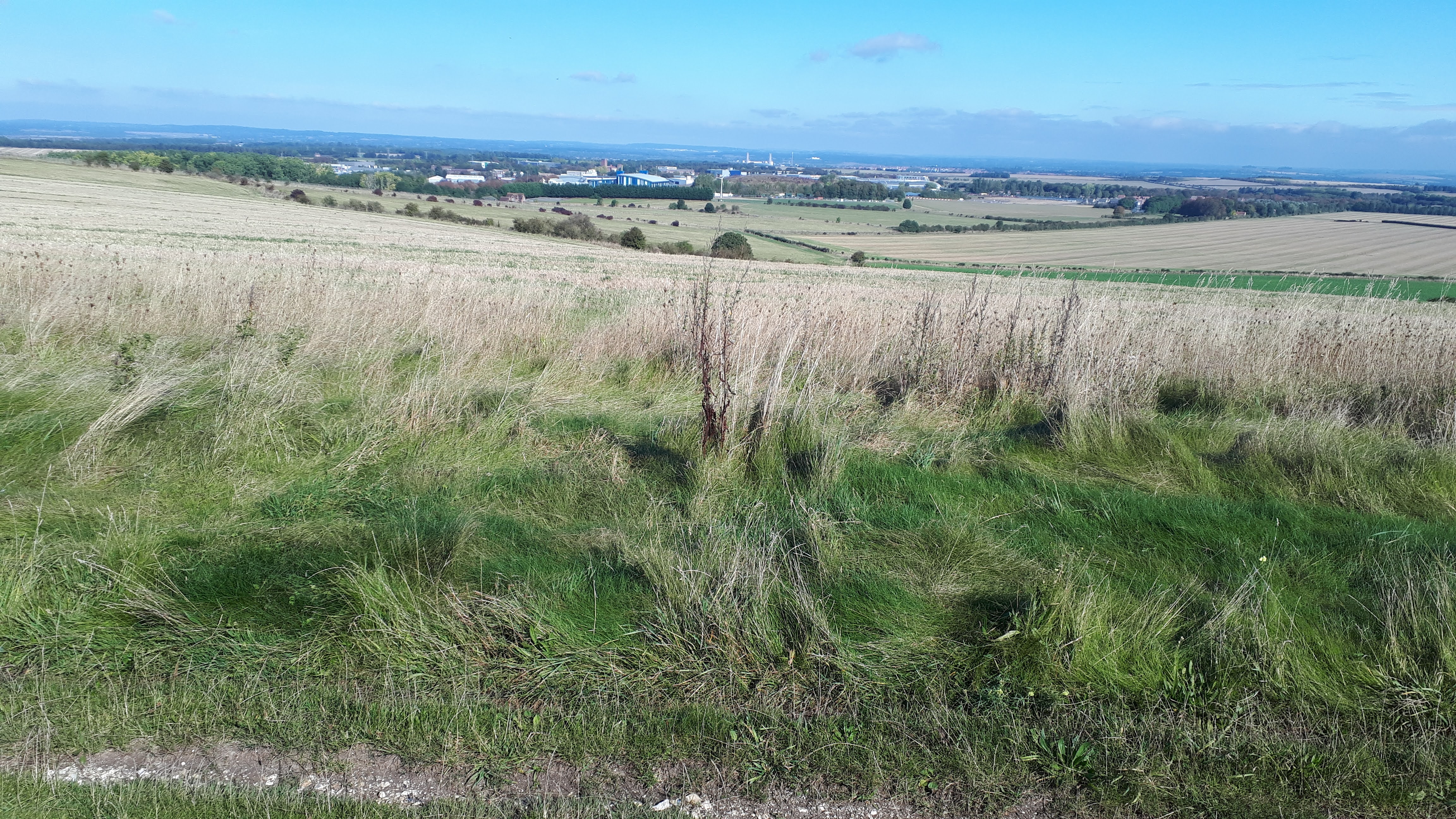
 |
| The RAL/Harwell science park in the distance |
 |
| There are great views from the Ridgeway |
 |
| The Ridgeway is generally a good path, but rough in places |
 |
| Subway under A34 |
 |
| More Ridgeway |
 |
| Some puddles and muddy patches easily avoided (but will get worse as autumn/winter sets in) |


 |
| Thames in Goring |
 |
| Nice cafe in Goring |
 |
| Pill box beside the Thames |
 |
| The path between Goring and Whitchurch is surprisingly tough, with several ups and downs |
 |
| Very steep bit requiring steps |
 |
| Unusual horse |
 |
| The River Thames is glimpsed only occasionally |
 |
| Church at Mapledurham |
 |
| Mapledurham Village |
 |
| The Thames Valley route passes through nice parkland |
 |
| Pedestrian Cycle Bridge over Thames in Reading |

Great but there is no GPX file to download....
ReplyDeleteSorry it's not easy to get the GPX file, but you could try downloading the Google map info, as a KML/KMZ file, then convert to GPX using a site like GPS Visualiser
Delete