All sections Next: Ogbourne>East Hendred Down Previous: Stonehenge>Avebury
In my last ride along the KAW, I reached Avebury. Today, I tackled Avebury to Ogbourne St George. Here's a map of my circuit.
I parked in the visitor car park at Avebury (free to NT members), and cycled along the KAW, climbing to the Ridgeway, passing through Barbury Castle hill fort, and descending to Ogbourne St George. I returned via the NCN482 disused railway path via Marlborough, and country lanes via West Overton. 22 miles in total. It was a cool, dry, overcast day, good for cycling, but not quite so for photos!
 |
| Track leaving Avebury |
 |
| Climb the Herepath (= Anglo Saxon for War Path) |
 |
| Looking back |
 |
| The Ridgeway is quite rough at first |
 |
| Some surface improvements are being trialled |
 |
| Rutted sections need care |
 |
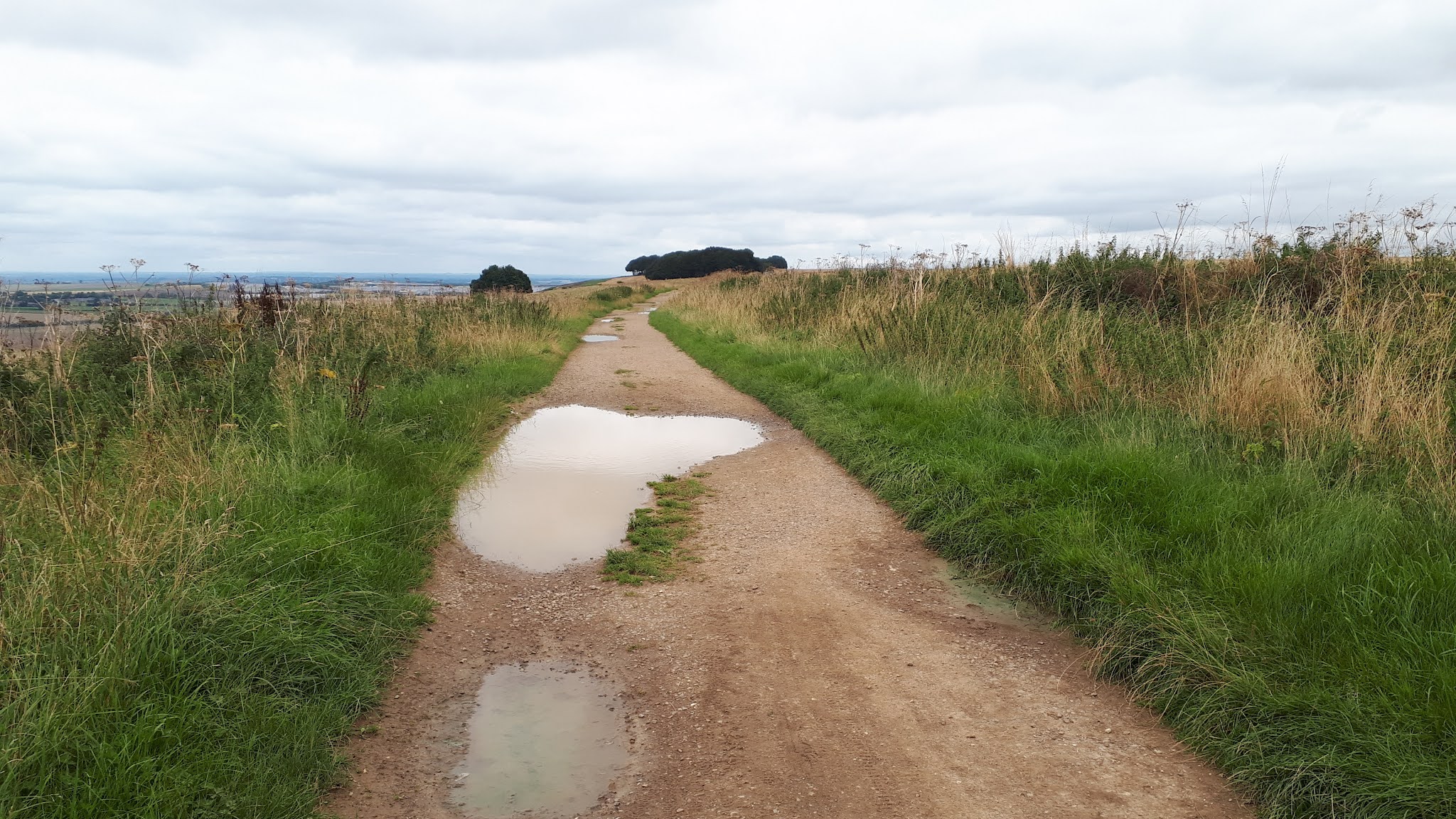
| Path improves |
 |
| Approaching Barbury Castle |
 |
| Someone obviously abandoned their attempt to do the KAW on a shopping trolley |
 |
| The Ridgeway goes through Barbury Castle hill fort |
 |
| Good views from the ramparts |
 |
| After Barbury, the Ridgeway branches off for a grassy descent |
 |
| Track around Ogbourne St George |
 |
| Muddy crossroads where Ridgeway meets disused railway path |
 |
| The disused railway path to Marlborough (not KAW) |


Comments
Post a Comment